Ruakaka CentreAsbuilt survey of services
Surveying Projects in Whangarei & Northland
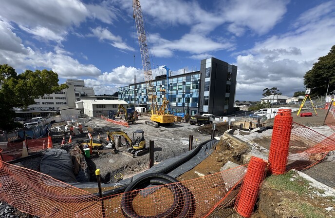
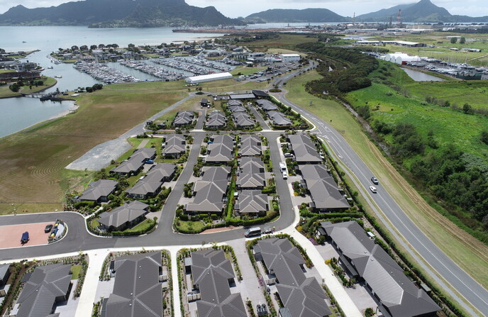
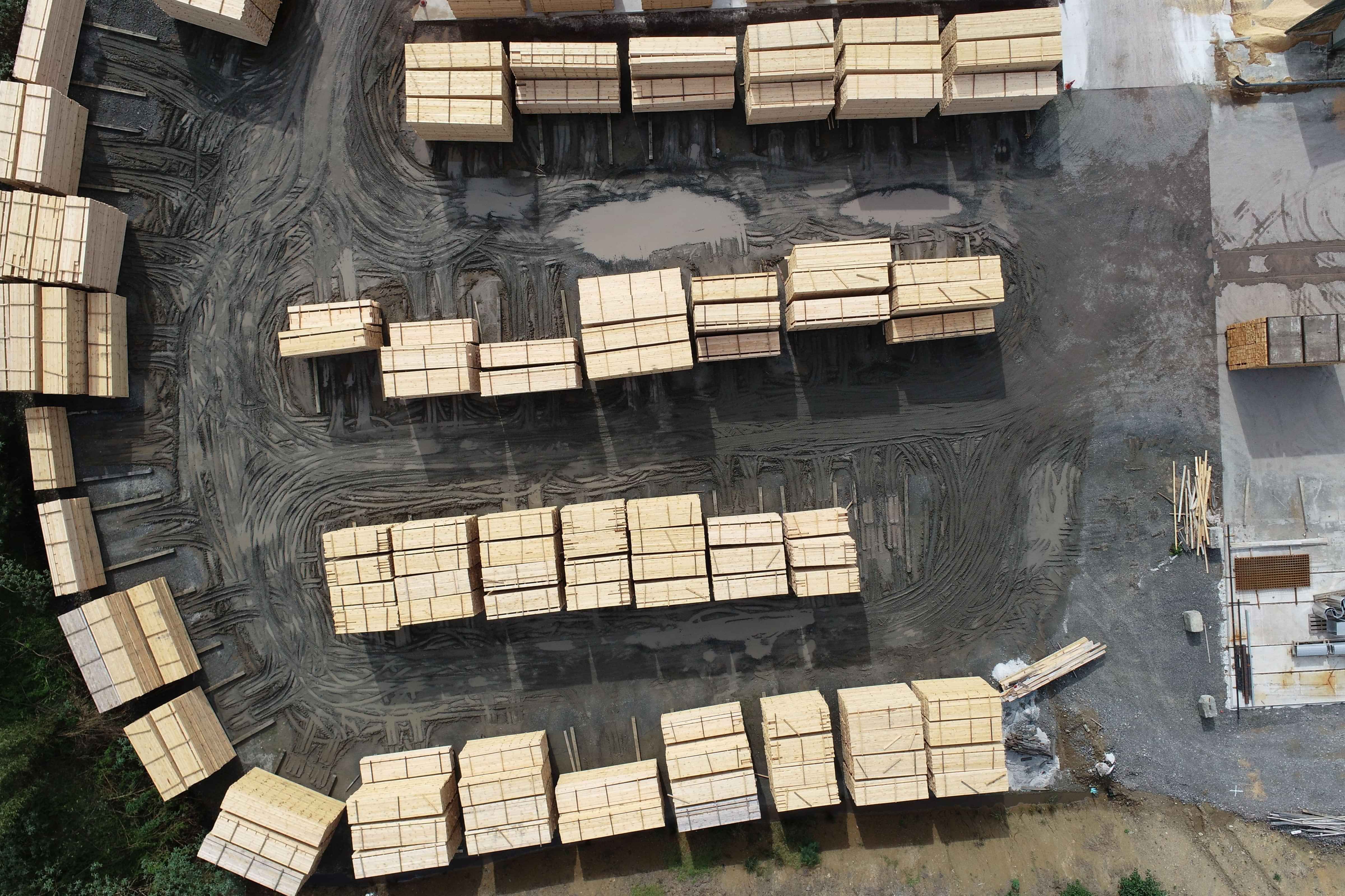
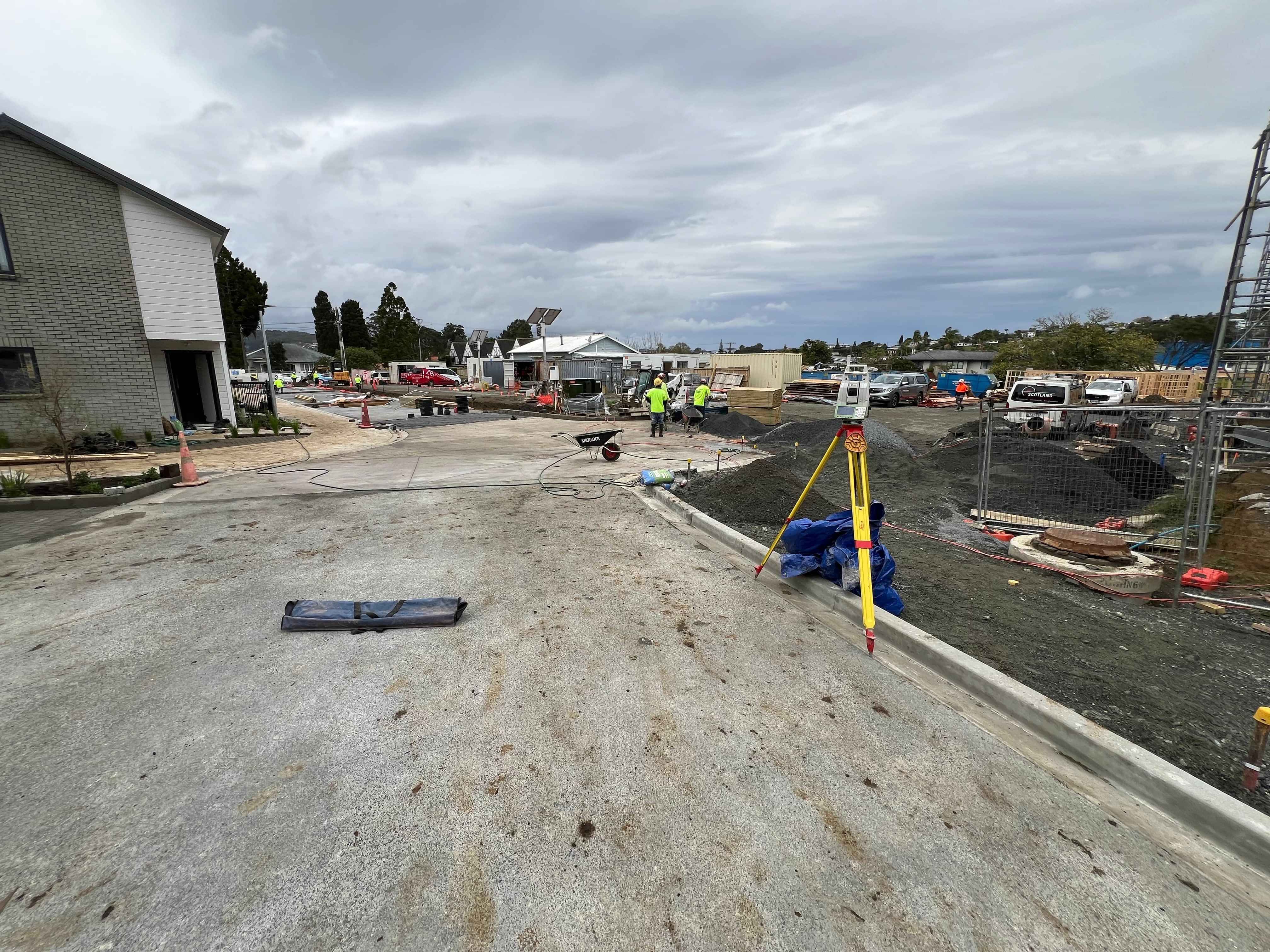
Our Surveying Projects in Action
Explore Boundary Hunter’s land surveying work in Whangarei and Northland, combining accuracy, innovation, and efficiency.
Trusted by locals
Our work reflects our strong partnership with Whangarei community stakeholders, including councils and housing companies.
Precise land mapping
Accurate land data collection allows us to provide detailed reports and inform vital planning decisions.
Safety Takes Priority
Our stellar safety record in the surveying field ensures we create secure environments for all project activities.
Innovative survey solutions
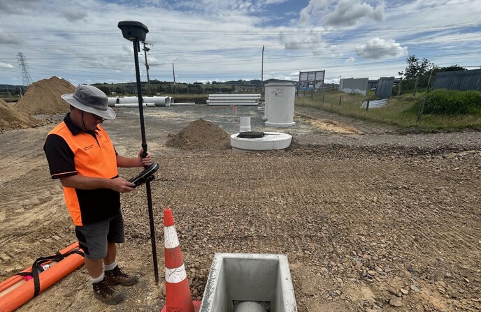
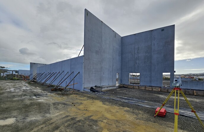
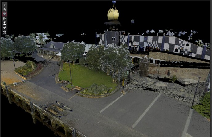
Boundary Hunter Limited leverages cutting-edge technology like LiDAR drones and 3D laser scanners in our Whangarei land surveying processes. These advanced tools enable us to deliver unmatched precision and efficiency across all projects, ensuring your property is accurately mapped.
Enhancing urban growth
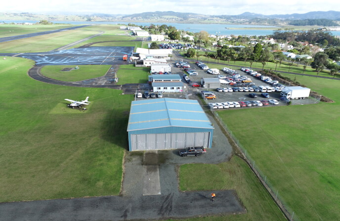
Playing a key role in the Whangarei land surveying scene, we help shape urban growth. Projects like residential developments and infrastructure improvements shine due to our exacting standards in surveying.
Northland Survey Experts
Boundary Hunter Limited prides itself on innovative surveying techniques that tailor to every client's specific needs across Whangarei and further afield. Our commitment to precise land analysis helps realise your project dreams with confidence.
Contact Us
Office
09 4355387
Unit B4, 7-11 Nell Place
Raumanga
Whangarei 0110
Bruce Smith
027 2260 665
bruce@boundaryhunter.co.nz
Tom Pymar
021 2290 038
tom@boundaryhunter.co.nz
Send a message